Permaculture Design: Digital Mapping for Site Analysis
By Permaculture Institute of North America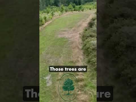
TL;DR: Digital mapping improves permaculture design by integrating diverse data for precise site analysis and informed planning.
- Leverage satellite imagery for accurate site delineation.
- Utilize topographical data for water management systems.
- Integrate environmental data like soil and climate maps.
- Layer datasets to understand complex site relationships.
- Optimize structure and planting placement with digital tools.
Why it matters: Digital mapping enhances permaculture design by providing a data-rich environment for holistic site understanding, leading to more resilient and productive systems.
Do this next: Explore available digital mapping tools to analyze your property's topography and environmental data.
Recommended for: Permaculture designers and enthusiasts seeking to integrate advanced analytical tools into their site planning and development.
Digital mapping is emerging as a valuable tool within the permaculture design framework, offering a sophisticated approach to site analysis and planning. This technology moves beyond traditional hand-drawn maps by providing a dynamic and data-rich environment for designers to understand and interact with their land. The core benefit lies in its ability to integrate diverse layers of information, allowing for a more holistic and informed design process.
One of the primary applications of digital mapping in permaculture is the precise identification and analysis of site characteristics. Designers can utilize satellite imagery, aerial photographs, and topographical data to accurately delineate property boundaries, identify existing vegetation, and understand the contours of the land. This detailed topographical information is crucial for planning water management systems, such as swales, ponds, and terraces, as it allows for the precise calculation of slopes and water flow patterns. Understanding elevation changes is also vital for optimizing the placement of structures and planting zones to maximize solar gain and minimize exposure to harsh winds.
Beyond basic topography, digital mapping platforms can incorporate a wealth of environmental data. This includes soil type maps, which are essential for determining appropriate plant selections and soil amendment strategies. Climate data, such as average rainfall, temperature ranges, and prevailing wind directions, can also be overlaid, providing critical insights for designing resilient and productive systems. For instance, understanding wind patterns can inform the placement of windbreaks, while knowledge of sun paths throughout the year can guide the optimal orientation of greenhouses and garden beds.
The ability to layer different datasets is a significant advantage. A designer can view soil types in conjunction with water flow, or existing vegetation alongside sun exposure, revealing complex interrelationships that might be less apparent on a static, hand-drawn map. This multi-layered approach facilitates a more comprehensive understanding of the site's ecological context and its potential for various permaculture interventions.
Furthermore, digital mapping tools enable designers to model and visualize different design scenarios. Before any earthworks begin or plants are put in the ground, various options for water harvesting, access pathways, and planting zones can be digitally sketched and evaluated. This iterative process allows for experimentation and refinement, reducing the risk of costly mistakes and ensuring that the final design is well-suited to the site's unique conditions and the designer's objectives. For example, a designer could model the impact of a new pond on water distribution or visualize the shade patterns cast by a proposed food forest.
Collaboration is another key area where digital mapping excels. Design files can be easily shared and reviewed by multiple stakeholders, including clients, other designers, and even community members. This fosters a more participatory design process, allowing for diverse perspectives to be incorporated and ensuring that the final plan aligns with the needs and aspirations of all involved. Changes and updates can be made in real-time, maintaining a consistent and current version of the design document.
The accessibility of these tools is also expanding. While some advanced Geographic Information Systems (GIS) software can be complex, many user-friendly online platforms and applications are emerging, making digital mapping more approachable for a wider range of permaculture practitioners. These tools often offer intuitive interfaces and pre-loaded datasets, lowering the barrier to entry for those new to digital mapping.
In essence, digital mapping transforms the permaculture design process from a largely two-dimensional, static exercise into a dynamic, data-driven, and collaborative endeavor. It empowers designers with a deeper understanding of their site, facilitates informed decision-making, and allows for the creation of more resilient, productive, and ecologically sound permaculture systems.